Who owns Australia?
Complex web of data reveals large swathes of country controlled by small number of billionaires and large companies
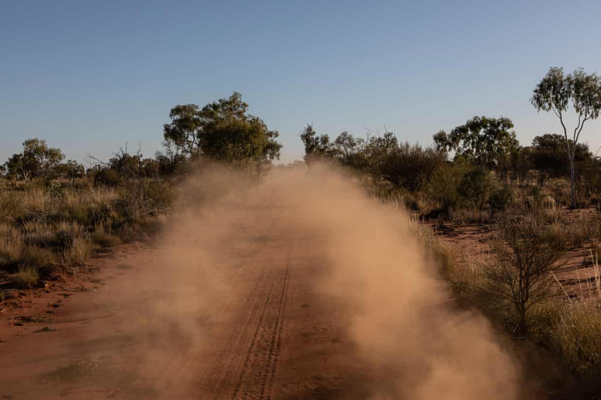
Who owns the Australian outback is a vexed question. The true answer is First Nations peoples, whose ownership stems back 60,000 years. The legal answer is more complex. It’s a mess of titles – freehold, pastoral leases, crown leases, public land, native title and land held by Aboriginal trusts.
And no two jurisdictions store or share that data in the same way.
Sign up to receive more articles on this topic
Six months ago Guardian Australia set out to learn who owns the outback. The data we received was unwieldy, incomplete, inconsistent and often came with a hefty price tag. There is no nationally consistent protocol for recording land tenure and land use information, or even clearly established definitions of what constitutes ownership or control of land.
So, in the absence of official data, we have collated large datasets from every state and territory and pieced together a database of land ownership. We then looked to the work of a rural newspaper, the Weekly Times, which has been tracking farm ownership. We also looked at information contained in media reports, official websites of known major landowners, cattle brand directories, government servers and other online maps.
The information we have sourced paints a picture of increasingly consolidated land ownership in outback Australia and a growing Indigenous estate.
What the data shows
Pastoral leases cover 44% of Australia, according to Austrade. Pastoral leases are defined by Austrade as a title issued for the lease of an area of crown land to use for the limited purpose of grazing of stock and associated activities. We were able to identify the leaseholders for just over half that area, pulling together data on more than 400 owners who together hold 700 stations covering 189.5m hectares – or about a quarter of the country.
The person who holds the most land in this pastoral-lease data, by far, is the Western Australian mining magnate Gina Rinehart, who controls 9.2m hectares, or 1.2% of Australia’s landmass, through three different corporate entities.
The biggest corporate landholder is the ASX-listed Australian Agricultural Company. AACo’s biggest shareholder is the Bahamas-based AA Trust, controlled by the British billionaire Joe Lewis, who is also the owner of the UK football team Tottenham Hotspur.
About 40% of Australia is covered by native title, in both exclusive and shared title. Australian government reports state that Indigenous communities hold the freehold title to 17% of the country, mainly in the Northern Territory and South Australia.
Guardian Australia’s definition of Indigenous tenure, for mapping purposes, includes exclusive-possession native title and freehold, which confer the right to exclude others from the land. This amounts to about 26% of Australia’s landmass. This definition does not invalidate non-exclusive native title – land that features other forms of ownership such as pastoral stations – or Indigenous ownership in areas where native title has been extinguished. When non-exclusive native title is included, the proportion of Australia is about 54%.
Keven Smith, a Torres Strait man and chief executive of Queensland South Native Title Services, says the connection of traditional owners to a place is not defined by whether they are able to be granted native title.
“If you ask the question of who owns Australia, I would say that First Nations people own this country,” Smith says. “Even though there’s limited application of native title over the four corners of this nation, cultural heritage is tenure-blind.”
Why do we need this data?
Researchers who have been pushing for a more transparent land use data say knowing who owns Australia is essential not only for proper management of our national resources but to understand who we are as a country.
Dr Laurence Troy, of the University of Sydney, was one of three researchers who worked on a 2012 report for the Rural Industries Research and Development Corporation, which developed a framework for analysing national patterns of ownership change, aggregation and fragmentation of agricultural land.
“I see [ownership] as a central question in how our society operates,” Troy says. “There is a lot of wealth and power tied up in property … it is important for a whole load of transparency around the structure of property and who owns property.”
The report began as an attempt to track the fragmentation of rural land through housing developments and subdivisions into lifestyle blocks. It found that, as farmland near cities was being broken up, agricultural land in more remote areas was being consolidated into large holdings by big corporate players.
Both forces for change in rural Australia – consolidation and fragmentation – are driving up property prices.
According to the 2021 Australian Farmland Values report by Rural Bank, the median price per hectare for agricultural land in Australia increased by 12.9% in 2020 to $5,907 a hectare, the seventh consecutive year of positive growth.
The consolidation of agricultural land is not inherently bad, says a report co-author, Dr Melissa Neave. There is no guarantee that a small family-run enterprise will engage in better land management practices than a large corporation. But, she says, the separation of land ownership from land management seen by some corporate players can be “problematic”.
Changes in Indigenous-held land
Maps show areas of Indigenous land rights and exclusive possession
Indigenous-held land
1788
1965
1993
2018
Indigenous-held land
1788
1965
1993
2018
Indigenous-held land
1788
1965
1993
2018
“The reality is that the bigger companies have started to consolidate our resources within Australia – so the issue is one of to what extent do we control, does the government control, the resources within the land itself,” she says. “Even though a company owns the land, the natural resources are generally owned by state governments. To what extent can [the state] actually ensure the health and wellbeing of that long-term management of those natural resources?”
Identifying landowners allows for better management of those natural resources, like soil and water, Neave says, and provides a basis on which to measure the impact of land management on agricultural productivity.
It could also potentially allow for landscape-wide planning, rather than viewing every property as a private fiefdom.
“Colonial ideas around what land means and what property is were really tied up with the notion of improvement, meaning that you needed to actively use the land, to improve it,” she says. “And if you weren’t seen to be improving the land – meaning fencing, clearing – you could lose it … but that means there can be a disconnect between the agenda of landowners versus the agenda of the community or of environmental values.”
A national register of land use, or at least nationally consistent data standards, would help encourage big agricultural investors, according to the National Farmers’ Federation. The NFF wants to grow farmgate output to $100bn by 2030 but reaching that target will reportedly require $8.7bn a year in capital investment.
“To do those kinds of things, you need ready access to data,” says Ash Salardini, the NFF’s general manager of trade and economics.
At the smaller end of town, where farms are still run by family units, the perceived privacy risks of such a register outweigh the potential benefits. Privacy concerns have grown after a number of high-profile trespasses on meat production businesses by animal rights activists in 2019, linked back to an unofficial register of farm ownership.
“It’s a family farm environment as well, it’s not just a business,” Salardini says. “So some of those privacy concerns need to be addressed.”
Difficulty of obtaining data
The federal government received recommendations to introduce nationally consistent land use data in 2012, 2015 and again in 2018, after a parliamentary inquiry. A national roadmap to consolidate and coordinate databases, developed in 2017, remains in the pilot stages.
Theoretically, all of this data is available on request. But there is a stark difference between making an inquiry about a specific parcel of land and attempting a broader mapping of land use.
“The information is there,” Troy says. “It’s not like they don’t know what the current legal status of the land is and who owns what … it’s all there and you can find out as a citizen. It’s just probably going to cost you money.”
Accessing data to form a picture of land use is difficult. “Every state has its own record keeping system,” Troy says. “Just understanding the structure across the various jurisdictions is a task in itself.
“I remember in New South Wales we encountered a lot of issues about data accuracy … because it hadn’t been recorded properly, there was no record in that column or because it hadn’t changed ownership in 40 years so they hadn’t updated it. A lot of that stuff actually makes it really problematic.”
NSW has since improved its database to include search tools, he says.
Access to an amalgam of the state tenure datasets created by the government-owned entity PSMA Australia costs more than $7,500 a year.
Even obtaining the public data directly from governments can be costly. The Northern Territory and South Australian governments charge hundreds to thousands of dollars for each dataset. Some of the data is incomplete, including omitting some of the largest pastoral parcels in Australia. In both WA and NSW, the data is maintained by private entities.
The data is also sometimes released in proprietary formats, requiring software subscriptions that can also be extremely expensive.
Even when all data is available, not all questions about land ownership can be answered. Neave says identifying land consolidation is “really tricky” in a dataset that may use multiple names to identify the same landholder.
“One year you would have H. Smith and then the next time around, it’d be Mrs. H. Smith and then it’d be Mr and Mrs. H Smith,” she says. “And because those names come up differently, when you’re running an algorithm to source whether there’s been a change [in tenure], those register as different names but it’s arguable whether or not the land has changed hands. So there’s actually quite a complicated space.”
- Read more of our Modern Outback series here.
Notes and methods:
- Cadastral and tenure datasets were sourced from each state and territory, with properties categorised as either public or privately owned/controlled depending on tenure categories.
- Pastoral spatial data was sourced from state/territory governments or inferred from cadastral/tenure datasets using tenure types and other metadata. The dataset does not include pastoral land in New South Wales, and Victorian pastoral leases were inferred using metadata in other features but named pastoral station boundaries were not available.
- Indigenous owned land was initially identified using the Australia’s Indigenous land and forest estate dataset from the Department of Agriculture, Water and Environment. This dataset classifies Indigenous owned land as freehold lands that are both owned and managed by Indigenous communities. This dataset was augmented with data on exclusive and non-exclusive Native Title areas.
- Dr Francis Markham, Research Fellow at the ANU Centre for Aboriginal Economic Policy Research, assisted with data collection and context around Indigenous land ownership
- Pastoral lease owners were initially sourced from the Weekly Times. This was checked and expanded using other media reports, company websites and statements. Additional data was sourced from the Northern Territory and Western Australian brands databases.
- Known pastoral lease holders were attached to spatial data using the name of the station, where available.
- Area calculations for each category, and for individual owners, were made by reprojecting the map into Australian Albers, dissolving and summing the area.
- Western Australia map data based on Department of Primary Industries and Regional Development source data.
- Northern Territory map data is based in part on NT Cadastre data, with freehold areas approximated from other sources.
- New South Wales map data is based on the September 2020 Monthly State Cadastral dataset, with public and private lots classified by controlling authority.
- Queensland map data is based on the whole of state cadastral dataset with public and private lots classified by tenure type. Queensland pastoral properties were classified by connecting the state cadastral with the Queensland Rural Properties dataset.
- Victorian map data is based on the Victorian Agriculture departments’ land use dataset, which includes a public/private classifier. Victorian pastoral properties were inferred using metadata in other features.
- Tasmanian map data is based on the Authority and Land Tenure datasets offered by The LIST. Pastoral properties data was released by Land Tasmania as a custom extraction on request.
- Australian Capital Territory data was inferred from data supplied by the other states.
- Map data for South Australia is based on data accurate as at 19 January 2021 from the South Australian Government, which retains the copyright to the underlying data. Disclaimers for the South Australian map data: copyright in this information belongs to the South Australian Government and the South Australian Government does not accept any responsibility for the accuracy or completeness of the information or its suitability for any purpose. The State of South Australia owns the copyright in the Data contained in the website and reproduction of that data in any way without the consent of the State of South Australia may constitute a breach of the Copyright Act 1968 (Cth). The State of South Australia does not warrant the accuracy or completeness of the Data and any person using or relying on such information does so on the basis that the State of South Australia accepts no responsibility or liability whatsoever for any errors, faults, defects or omissions in the information supplied. Neither GNM AUSTRALIA PTY LTD nor this website are affiliated with, endorsed or authorised by the State of South Australia. The Data in this website may contain property data in respect of an adjacent State. South Australian Pastoral Properties were extracted from the South Australian government’ NatureMaps webmap.